



Use left/right arrows to navigate the slideshow or swipe left/right if using a mobile device


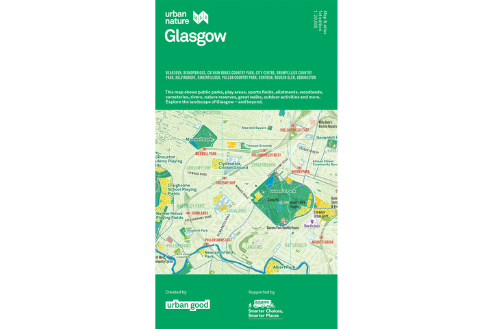
A folded Glasgow map for Clyde-side walks, parkland rides and discovering nature across the city.
Glasgow Walks, Trails & City Hikes
Trace the River Clyde, explore a country park or find a new connection between familiar neighbourhoods. The map covers Glasgow and its surroundings, with rail and subway connections, viewpoints and places for outdoor activity.
Riverside & Canal Routes
- Clyde Walkway: Follow the river corridor and plan a waterside outing.
- Forth & Clyde Canal towpath: Find the canal route within the area covered and see how it connects with the wider network.
- City hikes and waymarked trails: Look for shorter routes through green spaces, including core paths.
Parks & Wider Landscapes
The coverage takes in Kelvingrove, Pollok Country Park, Rouken Glen and Cathkin Braes, as well as places around the city such as Bearsden, Bishopbriggs and Uddingston. The legend distinguishes cycling routes, mountain-bike trails and walking routes so you can choose an outing that suits you.
Glasgow’s Nature Atlas
On the reverse, graphics and maps explore how the city’s green and blue spaces are used, how walking and cycling routes connect, and the River Clyde’s changing height from its source. There are also ideas for the five ways to wellbeing and practical ways to support nature in a garden, street or windowsill.
Explore the accompanying Glasgow resources and activities.
Map Specifications
- Format: Folded paper map with an atlas on the reverse.
- Unfolded size: Approximately 950 × 1270 mm.
- Scale: 1:20,000 — 5 cm represents 1 km.
- Printing: Printed on the same press as Ordnance Survey maps, with a special Pantone spot ink.
Made with Local Knowledge
Co-created by Urban Good and Rob Bushby, with support from Paths for All’s Smarter Choices, Smarter Places programme, Glasgow City Council and Scottish Forestry. The map’s credits panel acknowledges the many other contributors who shared information and insights.
Read the story behind the Glasgow and Edinburgh maps or contact Rob Bushby.
For display, see the flat Glasgow Urban Nature Map. For another city to explore, pair it with the Edinburgh folded map.

Thank you for supporting Urban Good CIC.
ISBN: 9781916035591